Introduction
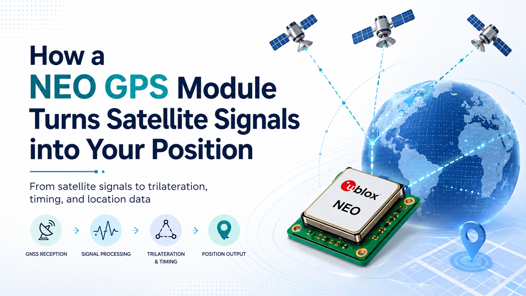
A NEO GPS module is a compact GNSS receiver commonly used in embedded systems, IoT devices, trackers, drones, and navigation projects. Its job is to receive weak radio signals from satellites, process them internally, and calculate position, speed, altitude, and accurate time.
Although the output often looks simple, the process behind it is quite advanced. The module must power up, search for satellites, lock onto their signals, measure signal travel time, and combine data from multiple satellites before it can report a usable location.
Power On
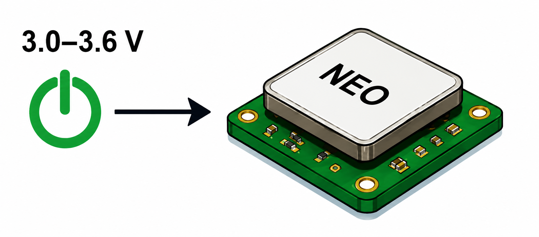
The process starts when the GPS module receives a stable power supply. Most NEO-based modules operate around 3.0 to 3.6 V, depending on the exact board and regulator design.
After power is applied, the internal GNSS IC starts booting. It checks its internal circuits, prepares the receiver chain, loads configuration data, and becomes ready to listen for satellite signals through the antenna.
Satellite Search
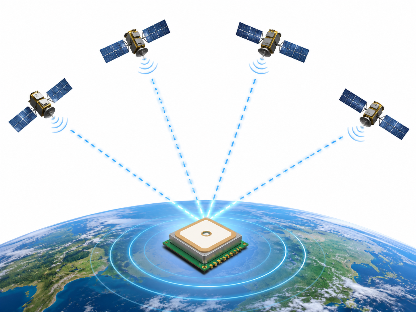
After activation, the module begins searching for GNSS signals. Depending on the module type and configuration, it can listen to systems such as GPS, Galileo, GLONASS, BeiDou, QZSS, or SBAS.
Satellite signals that reach Earth are extremely weak, often around -130 dBm. Because of this, antenna placement is very important. The module needs a clear view of the sky so the antenna can capture enough signal strength for a stable fix.
RF Conversion
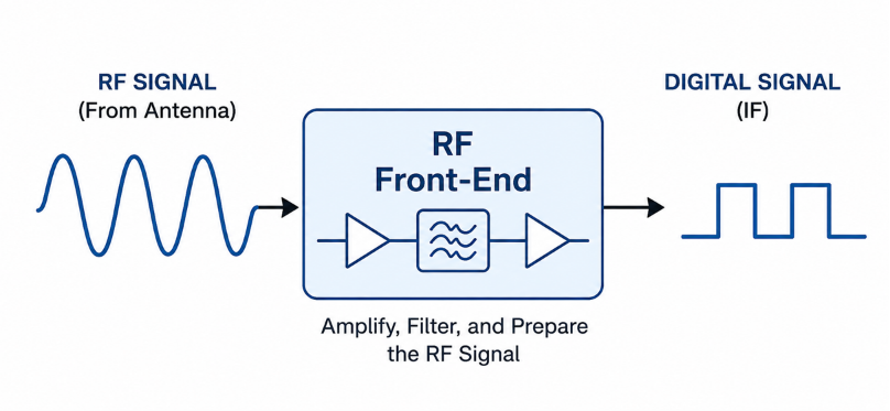
The received satellite signal first enters the RF front-end. This stage amplifies the weak radio frequency signal, filters out unwanted noise, and converts the signal into a lower-frequency digital processing stage.
This conversion makes the signal easier for the GNSS IC to analyze. Without this front-end processing, the module would not be able to extract timing and navigation information from the weak satellite signal.
Signal Acquisition
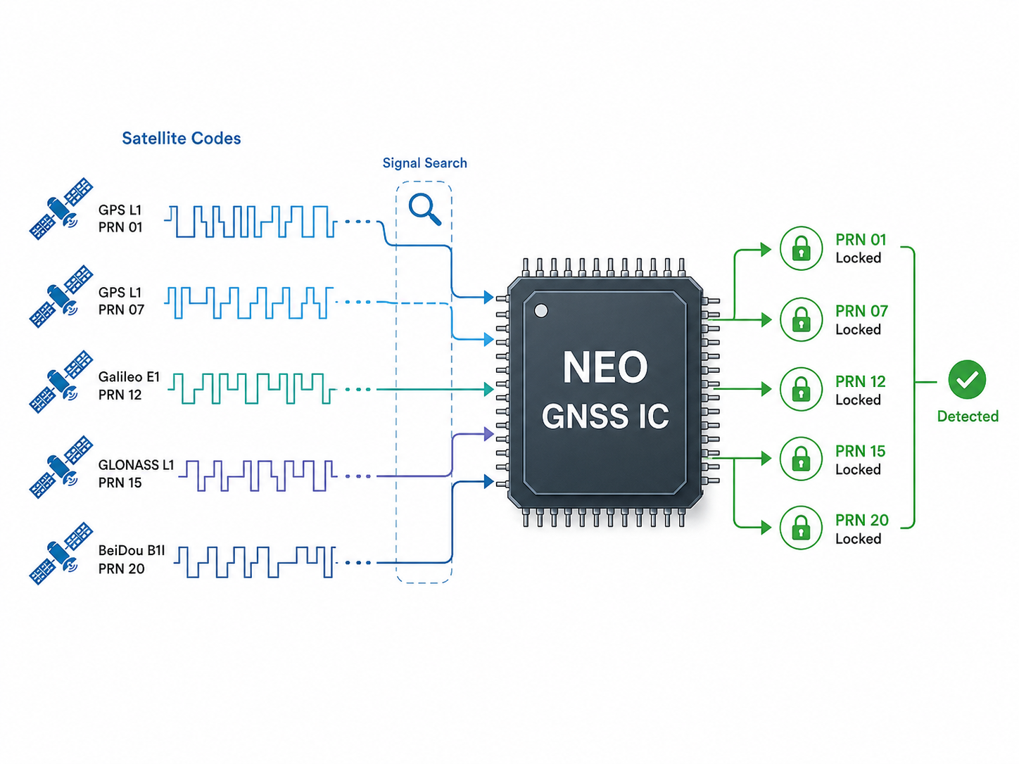
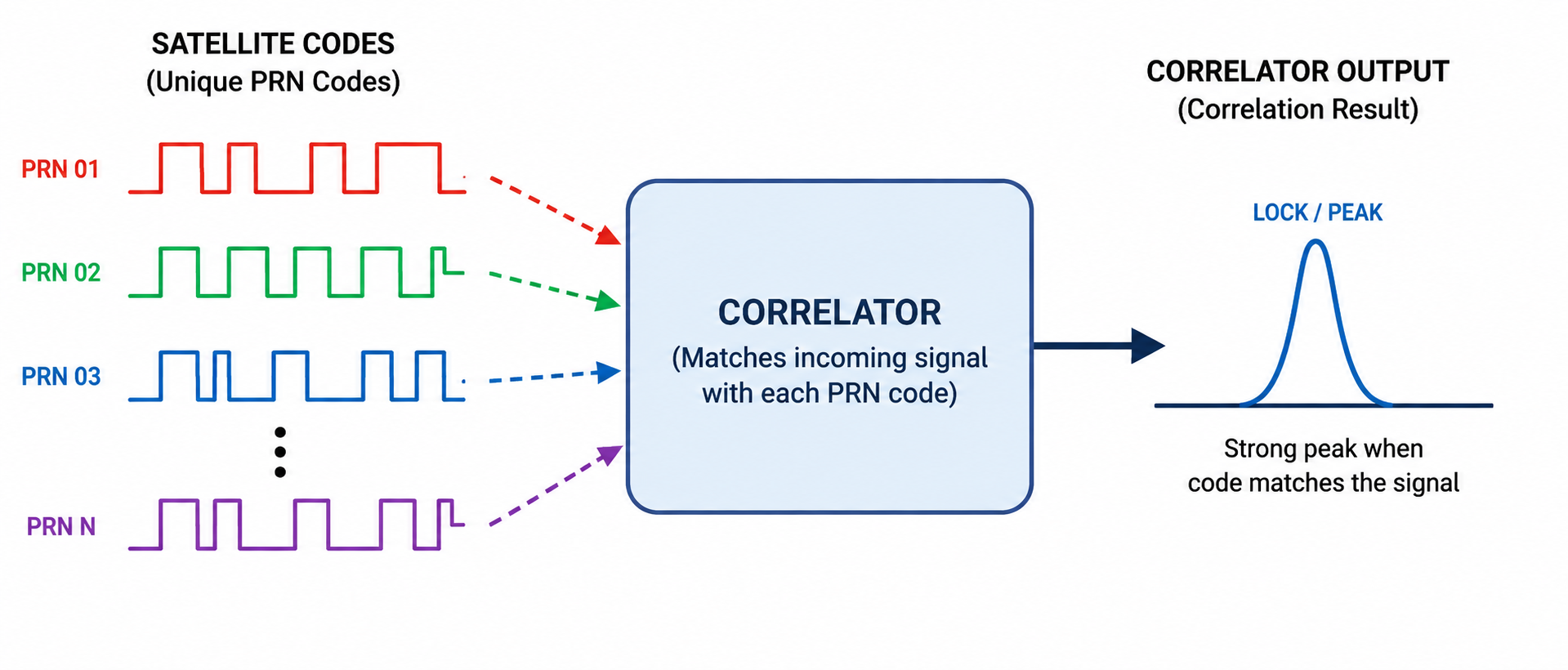
Next, the GNSS IC performs signal acquisition. In this stage, the module searches for the unique PRN code used by each satellite. This code helps the receiver identify which satellite is being detected.
The module also reads initial navigation data so it can estimate where the satellite is and when the signal was transmitted. This stage is one reason a cold start can take longer than a warm start, especially when the module has no recent satellite data stored.
Signal Tracking
Once a satellite signal is acquired, the module starts tracking it continuously. Tracking means the receiver keeps following the signal code and carrier phase so it can measure timing with high precision.
This stage must stay stable even when signal strength changes. Buildings, trees, weather, antenna orientation, and electrical noise can all affect tracking quality. The more stable the tracking, the more reliable the final position result will be.
Distance Measurement
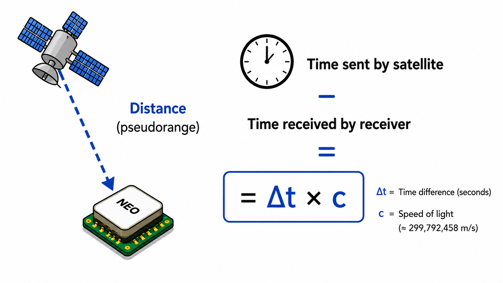
The module estimates distance to a satellite by comparing when the signal was transmitted and when it was received. This measured distance is called pseudorange because it still includes timing errors and atmospheric effects.
In simple form, the distance is calculated from signal travel time multiplied by the speed of light. If delta t is the time difference and c is the speed of light, then distance is approximately delta t times c, plus correction values.
Position Calculation
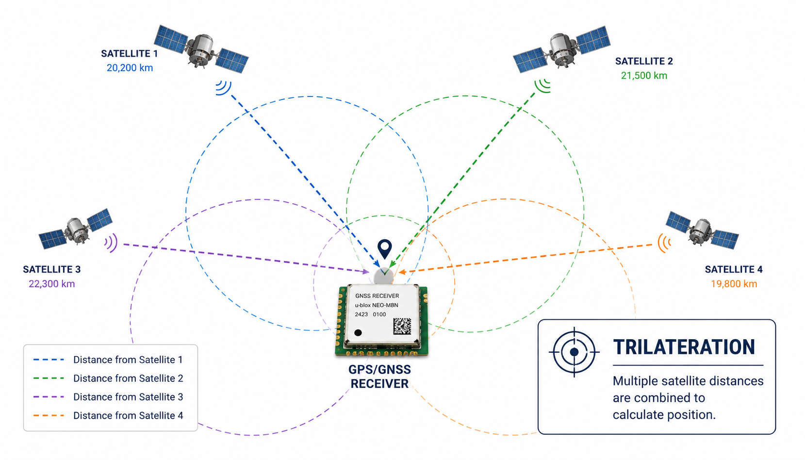
To calculate a 3D position, the module needs signals from at least four satellites. Three satellites help estimate latitude, longitude, and altitude, while the fourth helps correct the receiver clock error.
This process is called trilateration. Instead of using angles, the module uses measured distances from satellites. When more satellites are visible and the signal quality is good, the position estimate usually becomes more accurate.
NMEA Output
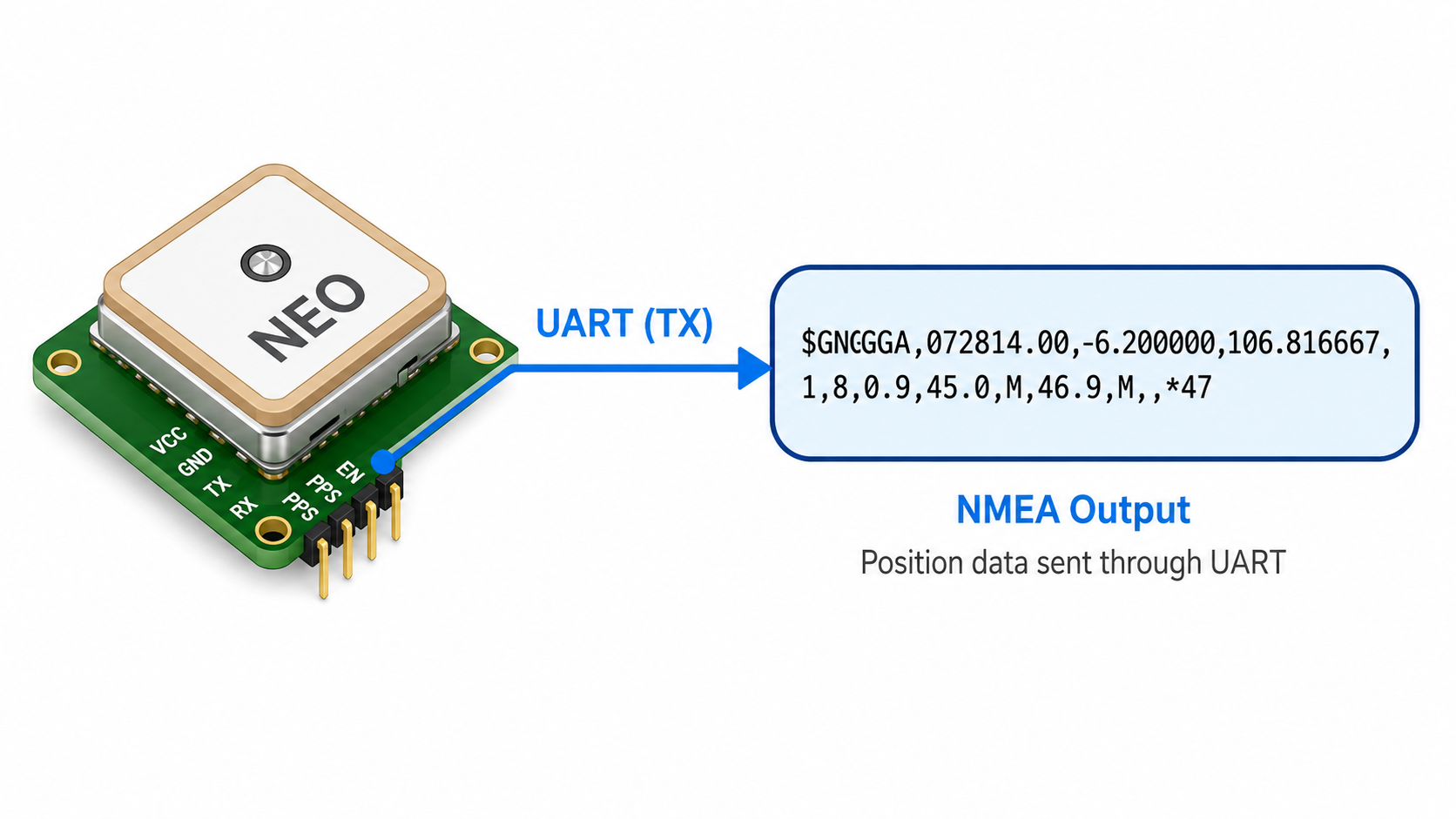
After calculating the position, the NEO GPS module sends data to the host device through UART TX. Microcontrollers such as Arduino, ESP8266, ESP32, STM32, or Raspberry Pi can read this serial data.
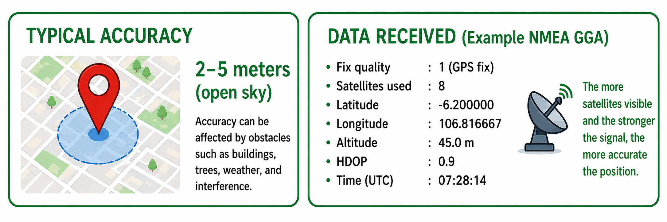
The most common output format is NMEA. One common sentence type is GGA, which can include fix quality, number of satellites used, latitude, longitude, altitude, HDOP, and UTC time.
Reading Result
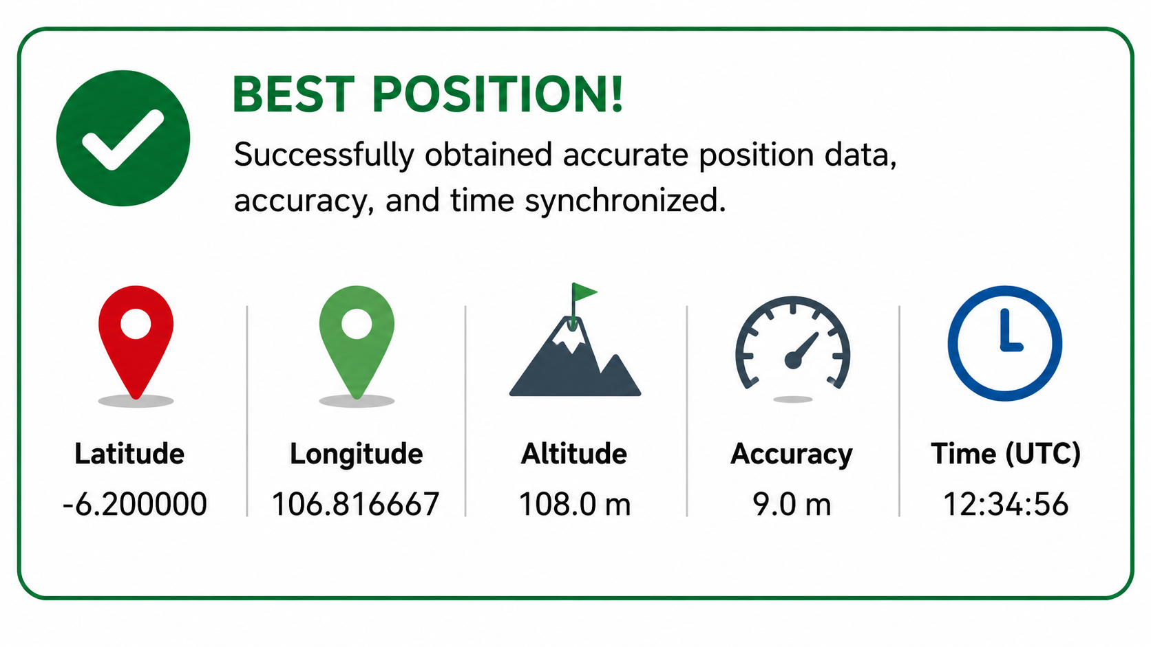
When the module has a valid fix, the system can read useful navigation information. Typical data includes latitude, longitude, altitude, speed, and UTC time.
For example, a module may report latitude -6.200000, longitude 106.816667, altitude 45.0 meters, speed 32.4 km/h, and UTC time 07:28:14. The exact values depend on location, satellite visibility, antenna quality, and environmental conditions.
Accuracy Notes
A typical NEO GPS module can reach around 2 to 5 meters of accuracy in open outdoor conditions. Accuracy can improve when more satellites are visible and the signal quality is strong.
In real use, accuracy can be affected by buildings, trees, weather, antenna position, multipath reflection, and electrical noise from nearby circuits. For better results, place the antenna outside or near an open sky view, keep it away from noisy power circuits, and wait until the module gets a stable fix.
Conclusion
A NEO GPS module does much more than simply receive coordinates. It powers up, searches for satellites, converts weak RF signals, identifies satellite codes, tracks timing, measures pseudorange, performs trilateration, and finally outputs readable data through UART.
Understanding this workflow helps when debugging GPS projects. If a module cannot get a fix, the problem is often related to antenna placement, weak satellite visibility, unstable power, or not enough time for the receiver to acquire and track satellites.